
Aerial intelligence for remote and complex projects
Accurate aerial mapping, site intelligence and technical imagery for mining, exploration, construction and infrastructure projects across Western Australia.
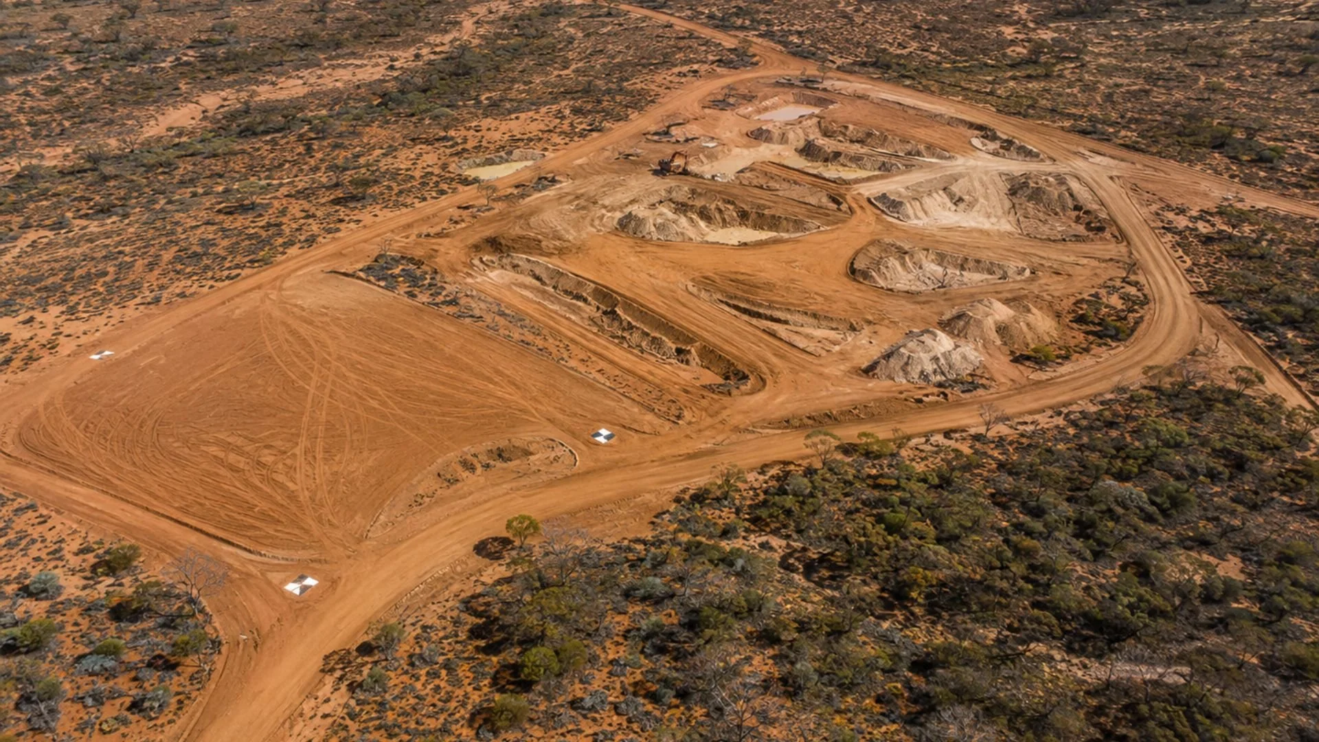
Aerial Mapping & Reality Capture
Capture accurate, high-resolution aerial imagery for planning, design and project documentation. TVA produces orthomosaics, 3D site models and terrain datasets that provide a clear, current view of your project area.
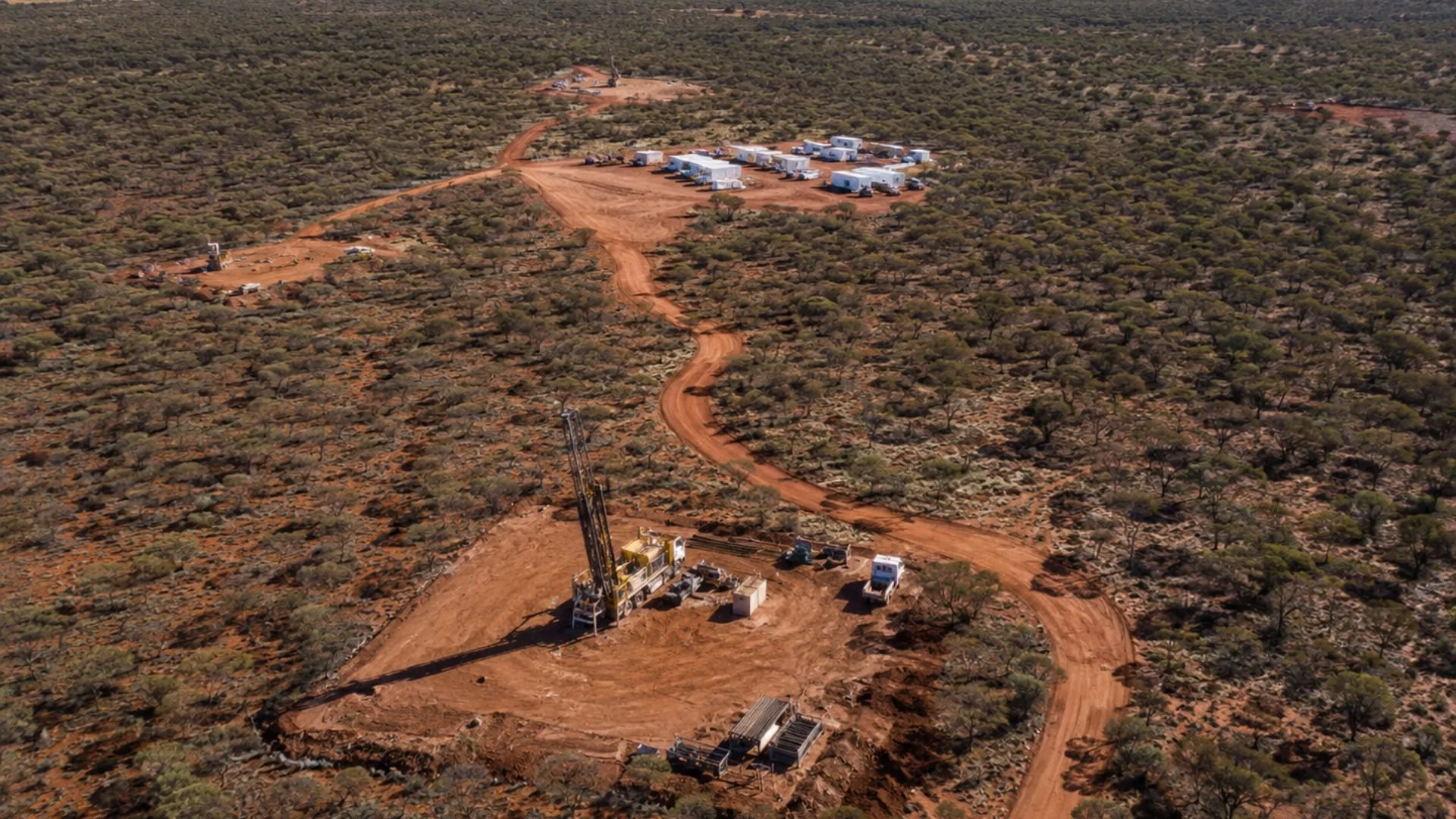
Mining & Exploration Support
Support exploration and field operations with current aerial information. TVA can document drill pads, access tracks, camp locations, terrain conditions and site development—helping project teams plan effectively and monitor change over time.
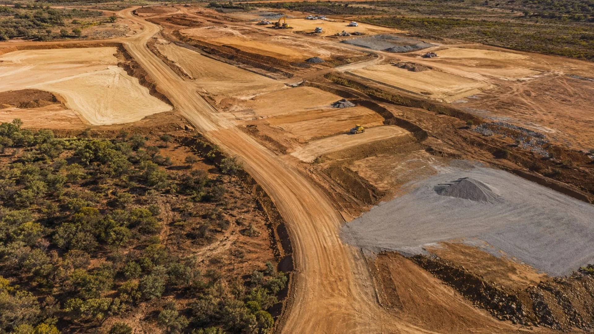
Progress & Change Monitoring
Track construction, earthworks and site activity through repeatable aerial capture. Scheduled flights provide consistent visual records, progress comparisons and project imagery for reporting, stakeholder communication and informed decision-making.
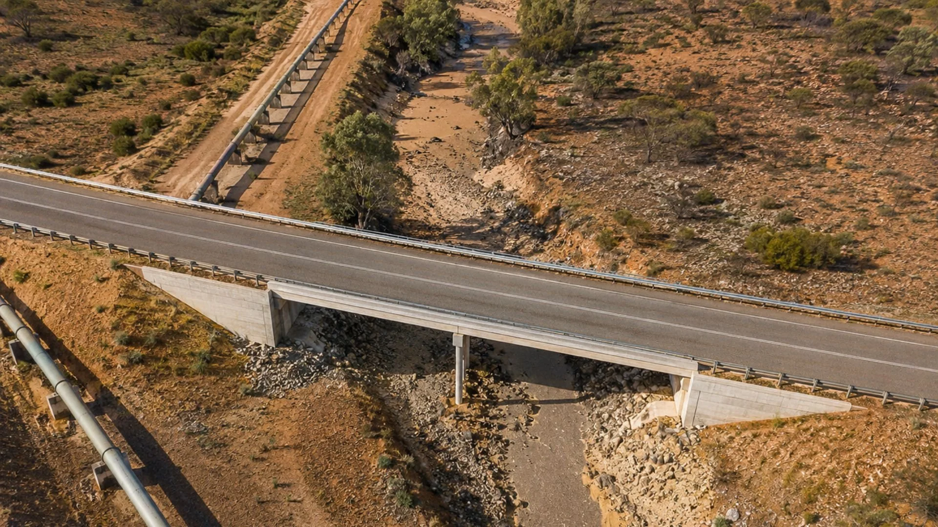
Infrastructure Inspection
Capture detailed visual imagery of roads, bridges, pipelines, utilities and other difficult-to-access assets. Drone inspections improve visibility, support maintenance planning and reduce the need to place personnel in hazardous locations.
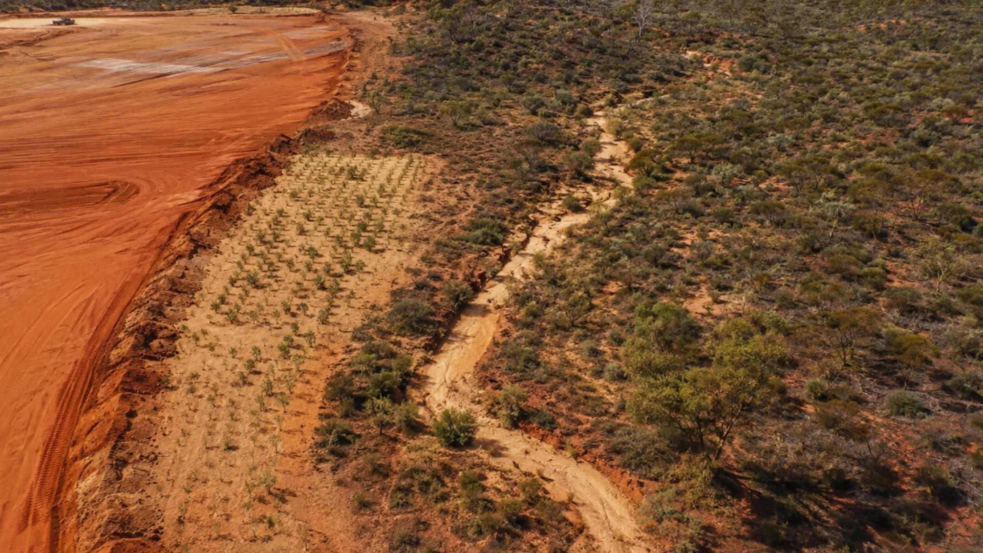
Environmental Documentation
Create repeatable aerial records of vegetation, surface disturbance, drainage and rehabilitation areas. Time-based imagery helps project teams observe changing site conditions and support environmental monitoring and reporting activities.
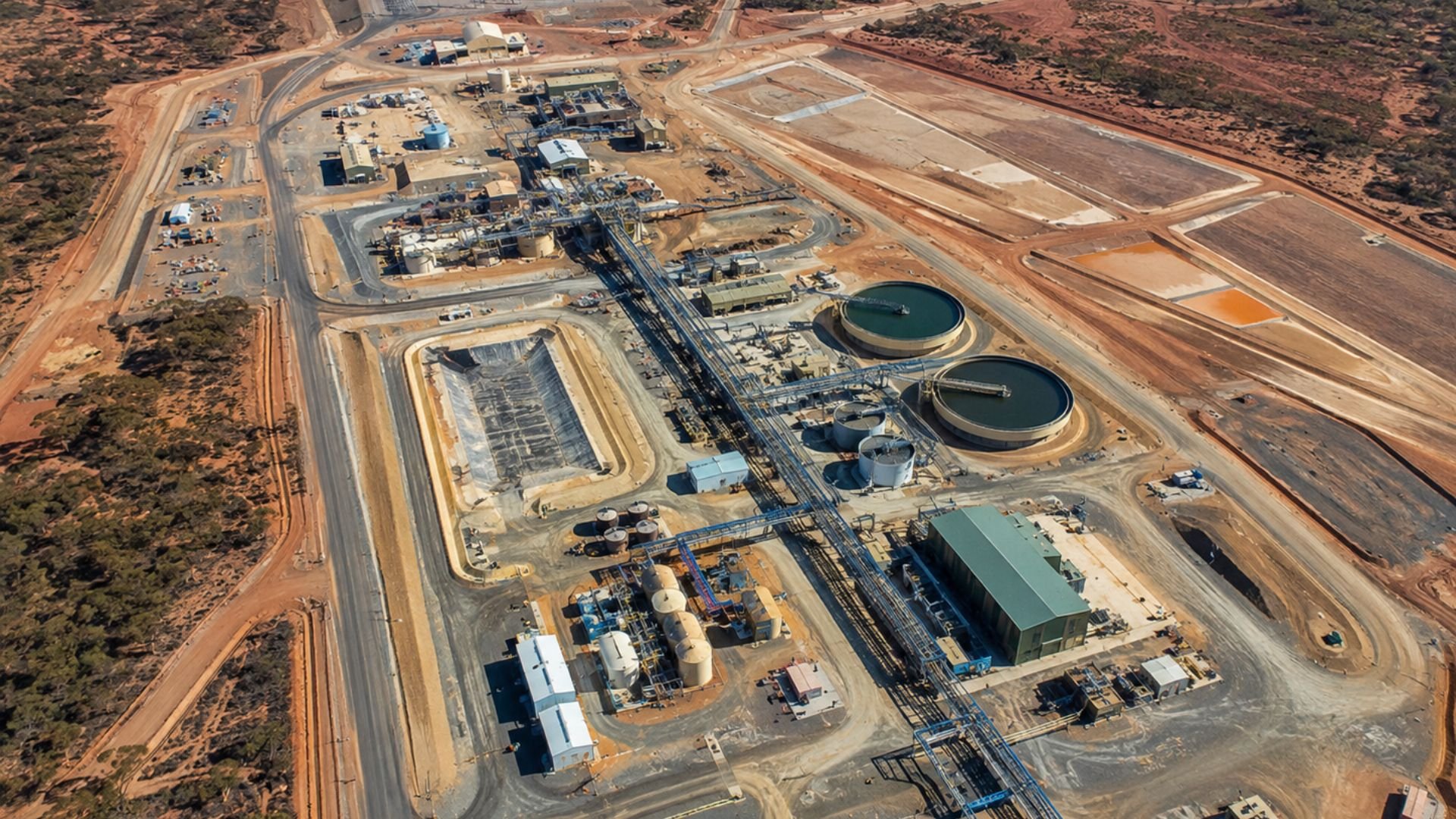
Digital Engineering Integration
Deliver aerial data in practical formats for GIS, CAD and digital engineering workflows. Outputs can support project coordination, design development, existing-condition records and ongoing asset documentation.
Capabilities
TVA combines accurate aerial capture, RTK positioning and professional photogrammetry workflows to produce practical, project-ready spatial information.
Aerial Mapping & Photogrammetry
High-resolution orthomosaic imagery
Digital Surface Models (DSM)
Terrain and elevation datasets
3D point clouds and textured models
Ground control and verification
Repeatable scheduled surveys
Mining & Site Intelligence
Drill pad and access-track mapping
Camp and infrastructure documentation
Earthworks and surface-disturbance records
Progress and change comparisons
Stockpile and earthworks volume analysis
Current imagery for planning and reporting
Inspection & Visual Documentation
High-resolution asset imagery
Detailed zoom inspections
Roads, bridges, pipelines and utilities
Difficult-to-access asset documentation
Repeatable condition imagery
Georeferenced visual records
GIS-ready spatial deliverables
CAD and digital-engineering outputs
GeoTIFF, point cloud and 3D model formats
ArcGIS-compatible datasets
Cloud-based project delivery
Existing-condition documentation
Digital Data & Project Integration
Our Approach
TVA combines professional aerial capture, RTK positioning and photogrammetry workflows to produce accurate, repeatable project information.
Project-specific flight planning
RTK-positioned aerial capture
Quality-controlled data processing
Practical GIS and engineering deliverables
Why Choose Terra View Aerial
Terra View Aerial provides practical aerial information for mining, exploration, construction and infrastructure projects across Western Australia. We combine disciplined flight operations, spatial-data capability and digital-engineering experience to deliver information that supports real project decisions.
Remote Project Focus Experience and workflows suited to remote locations, changing site conditions and complex operational environments.
Project-Ready Deliverables Aerial data supplied in practical formats for planning, reporting, GIS and digital-engineering workflows.
Safe, Compliant Operations Operations conducted under a CASA-issued ReOC by a qualified Remote Pilot, supported by documented procedures and project-specific risk planning.
Direct, Responsive Service Work directly with the person planning the capture, operating the aircraft, processing the data and preparing your deliverables.
Discuss Your Project
Tell us about your site, the information you need and how it will be used.
Terra View Aerial can recommend a practical aerial capture and delivery approach suited to your project requirements.
0407 807 001
Perth, Western Australia